George C. Marshall Space Flight Center
Earth Science Branch
Interactive Global Geostationary Weather Satellite Images
Select a weather satellite image map to view data from that sensor
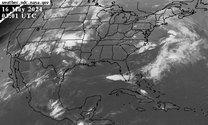
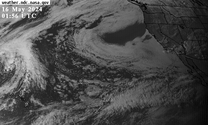
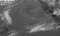
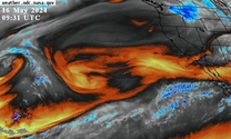
GOES-East - CONUS
Band 2 (0.64 µm)
Red Visible
Band 5 (1.61 µm)
Snow/Ice Near-Infrared
Band 7 (3.90 µm)
Shortwave Infrared
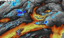
Band 8 (6.19 µm)
Upper-Level Water Vapor
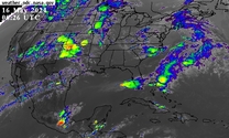
Band 13 (10.35 µm)
Clean Longwave Infrared
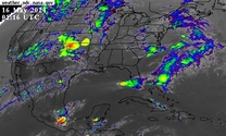
Band 14 (11.20 µm)
Longwave Infrared
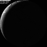
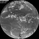
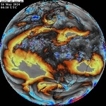
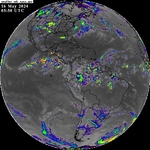
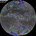
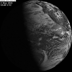
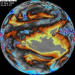
GOES-East - Full Disk
Band 2 (0.64 µm)
Red Visible
Band 5 (1.61 µm)
Snow/Ice Near-Infrared
Band 7 (3.90 µm)
Shortwave Infrared
Band 8 (6.19 µm)
Upper-Level Water Vapor
Band 13 (10.35 µm)
Clean Longwave Infrared
Band 14 (11.20 µm)
Longwave Infrared
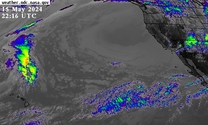
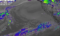
GOES-West - CONUS
Band 2 (0.64 µm)
Red Visible
Band 5 (1.61 µm)
Snow/Ice Near-Infrared
Band 7 (3.90 µm)
Shortwave Infrared
Band 8 (6.19 µm)
Upper-Level Water Vapor
Band 13 (10.35 µm)
Clean Longwave Infrared
Band 14 (11.20 µm)
Longwave Infrared
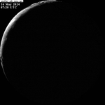
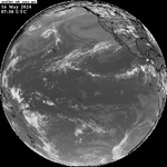
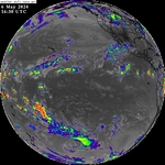
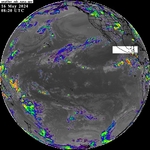
GOES-West - Full Disk
Band 2 (0.64 µm)
Red Visible
Band 5 (1.61 µm)
Snow/Ice Near-Infrared
Band 7 (3.90 µm)
Shortwave Infrared
Band 8 (6.19 µm)
Upper-Level Water Vapor
Band 13 (10.35 µm)
Clean Longwave Infrared
Band 14 (11.20 µm)
Longwave Infrared
Obtain GOES data files
GOES weather satellite imagery courtesy of the Earth Science Branch at the NASA George C. Marshall Space Flight in Huntsville, Alabama.
Earth Science Branch
Responsible Official: Dr. Gary Jedlovec (
gary.jedlovec@nasa.gov
)
Page Curator: Paul J. Meyer (
paul.meyer@nasa.gov
)