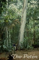
The Petén, Guatemala
Tom Sever
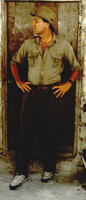 Tom Sever is a NASA archeologist and remote
sensing specialist who has helped to pioneer the use of remote sensing/GIS
technology in archeological research. His satellite images of the Petén
influenced the President and Congress of Guatemala in establishing the Maya
Biosphere Reserve in 1990. He has worked with airborne and satellite systems
conducting international research in Israel, Peru, Chile, Mexico, Costa
Rica, Guatemala, and the American Southwest. He holds a Ph.D. in Anthropology
from the University of Colorado. Tom Sever is a NASA archeologist and remote
sensing specialist who has helped to pioneer the use of remote sensing/GIS
technology in archeological research. His satellite images of the Petén
influenced the President and Congress of Guatemala in establishing the Maya
Biosphere Reserve in 1990. He has worked with airborne and satellite systems
conducting international research in Israel, Peru, Chile, Mexico, Costa
Rica, Guatemala, and the American Southwest. He holds a Ph.D. in Anthropology
from the University of Colorado.
Responsible Official: Dr. James L. Smoot (James.L.Smoot@nasa.gov)
Page Author: Tom Sever
Page Curator: Diane Samuelson (diane.samuelson@msfc.nasa.gov)
|