Tropical Cyclone Analysis and Nowcasting

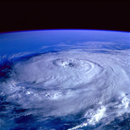
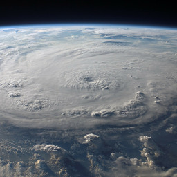
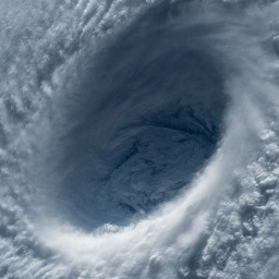
TROPICS Early Adopters with a tropical cyclone analysis and nowcasting focus seek to use TROPICS data to monitor storm location and evolution, as well as to diagnose storm structure.  Tropical cyclones form in traditionally data-void regions over the open ocean, which necessitates the use of satellite imagery and observations to analyze storm evolution. Since visible and infrared imagery may not easily reveal the convective structure or organization under the tropical cyclone cirrus canopy, high-frequency microwave observations from TROPICS can reveal changes in storm structure, which can improve estimates of storm intensity. 

Daniel Vila
National Institute for Space Research
Patrick Duran
NASA Marshall Space Flight Center

James Darlow
Joint Typhoon Warning Center

Zhuo Wang
University of Illinois
Svetla Hristova-Veleva
Jet Propulsion Laboratory

David Gallagher
Weather Stream Inc.
Yalei You
University of Maryland

Christian Kummerow
Colorado State University

Simon Elliot
EUMETSAT

John Forsythe
CIRA

Steve Petrie
Swinburne University of Technology
Fiona Smith
Bureau of Meteorology, Australia

Technical Contact: Dr. Patrick Duran (patrick.t.duran@nasa.gov)
Responsible Official: Dr. Gary Jedlovec (gary.jedlovec@nasa.gov)
Page Curator: Dr. Patrick Duran (patrick.t.duran@nasa.gov)